warehouselogistiek.eu
EN

The platform for internal & external logistics, supply chain and automation
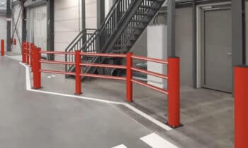
Technology is changing the way we work. Also in the infrastructure sector. Through a far-reaching form of digitization of equipment and using available geographic data, work can be done more and more efficiently. Technology also plays a key role in the field of (personal) safety in the infra. As a manufacturer of high-quality hardware and software solutions for geodesy, Leica Geosystems invests heavily in technology and safety.
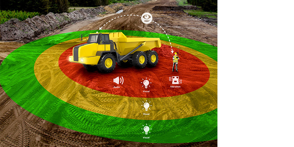
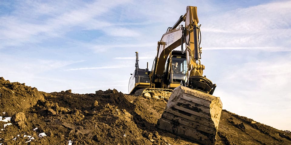
The collision warning in the PA10 provides operators with a 360-degree view around the machine and alerts as soon as persons or other vehicles come within a preset range.
One of the latest developments is the Leica PA10 to enhance safety for people and equipment in a construction pit. "The personal alarm system has its origins in the mining industry and has amply proven itself there," says Arno Kijzerwaard of Leica Geosystems. "In addition, it also turns out to be extremely suitable for application in the infrastructure sector, especially for large infrastructure projects with a lot of earth moving. There are still far too many accidents happening around excavators and other heavy construction vehicles. The collision warning in the PA10 provides operators with a 360-degree view around the machine and alerts as soon as people or other vehicles come within a preset range. This is an active system that issues alerts in three grades and can be customized for each machine. The beauty of this system is that personnel on foot can also be equipped with a sensor, generating an alert when a vehicle approaches or if the person is within a certain range of a construction machine."
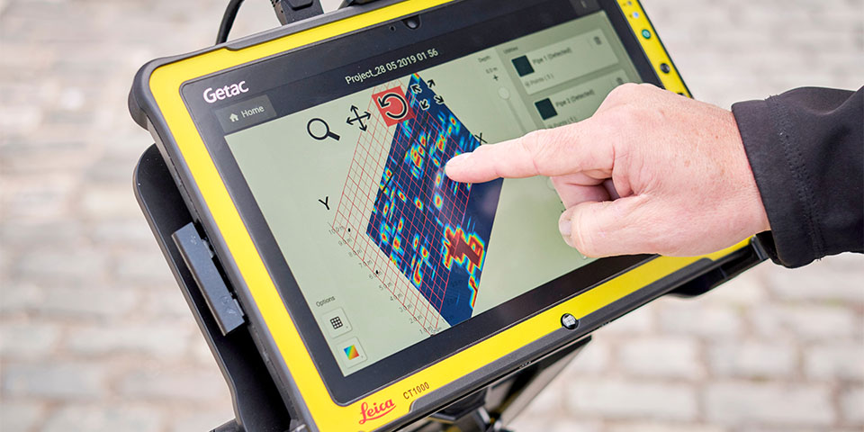
Leica DSX ground radar shows a heatmap of the location of cables and pipes on the display.
Technology is also enabling equipment to be used more and more efficiently. One example is the Leica iCON site software. Kijzerwaard: "This software offers intelligent positioning solutions tailored for road construction and infra applications. The software is so intelligent that the earthmoving professional, for example, no longer even needs to hold the GPS receiver vertically."
"Technological innovation, meanwhile, already allows Leica AutoPilot systems to automatically rotate and tilt the bucket," Kijzerwaard continued. "Or the boom and jib of a crane are automatically controlled, so that the operator only has to pull the joystick towards him so that the crane automatically follows the digital terrain model. The machine control display is increasingly becoming the central hub, bringing together information from the machine control, the PA10 safety sensors and, for example, 360-degree cameras. This display is then easily interchangeable between different construction machines. Digital innovations on and around the machine can also be used to increase safety. Think of detectors to detect cables and pipes before digging to ground radar that nowadays allows easy mapping of the subsurface. Leica DSX ground radar is a great example of this where a heatmap of the location of cables and pipes is shown on the display."
In short, technology does indeed change the way we work, but above all it makes it much more efficient and safe. Want to experience Leica Geosystems' high-quality hardware and software solutions for yourself? Visit connect.leica-geosystems.com.