
Visual Positioning with a GNSS-RTK Rover
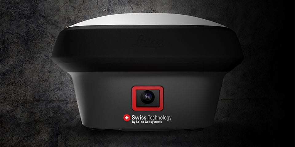
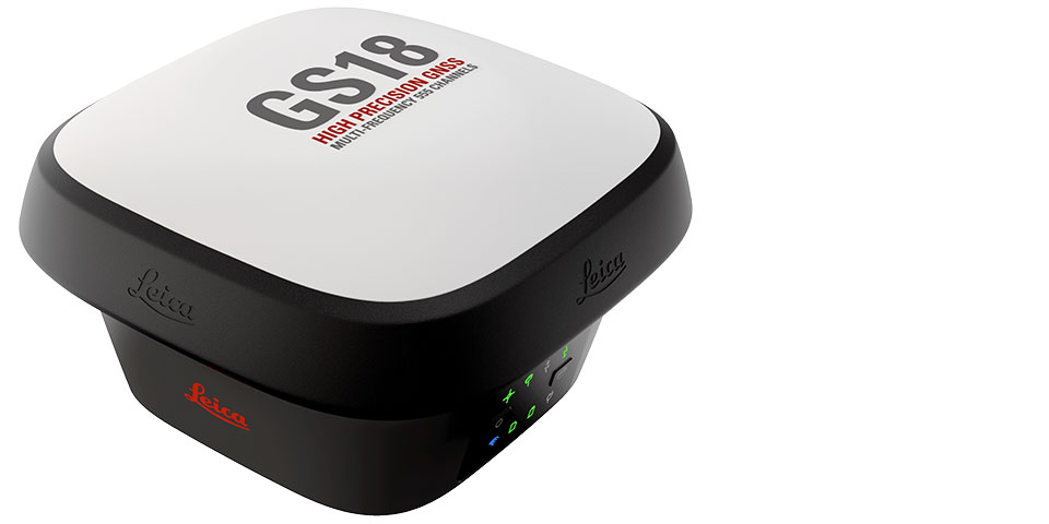
Land surveying is making increasing use of imagery, such as 3D laser scanning, mobile mapping and airborne photogrammetry. Leica Geosystems now introduces the Leica GS18 I. A versatile GNSS RTK-Rover of surveying quality with Visual Positioning. Thanks to an integrated camera, the Leica GS18 I makes it possible to measure points previously inaccessible with a GNSS RTK-Rover.
The Leica GS18 I has all the functionality of the Leica GS18 T, such as the ability to accurately measure with a tilted stick. However, the addition of the camera offers unprecedented possibilities. The sensor fusion of GNSS, tilt compensation (IMU) and the camera creates the capability for Visual Positioning. This results in a GNSS RTK Rover so powerful that it enables users to measure what they see.
This offers significant advantages for various applications. Until recently, it was unthinkable to map a building completely from the outside with a GNSS rover. Point measurement against the facade was already made possible by the introduction of reliable tilt compensation in the Leica GS18 T. With the Leica GS18 I, measuring under a canopy, or from inaccessible points high up on the building is now also possible.
It also offers advantages in other situations. Consider, for example, the safe mapping of a road from the shore. Or when measuring under time pressure, such as when measuring cables & pipes in an open trench or in traffic accident analysis, where the road must be cleared as quickly as possible, but still every detail must be recorded for evidence.
The Leica GS18 I takes pictures, mapping the situation with hundreds of points, with surveying accuracy, within minutes. The images can then be "measured" afterwards in a user-friendly way, both outside on the controller, and afterwards in the office in Leica Infinity. It is also possible to generate point clouds from the images.
This latest innovation from Leica Geosystems has changed the rules of the game again. It is now up to the user to make the most of the new capabilities.


Contact gegevens
Louwers Mediagroep
Schatbeurderlaan 6 6002 ED
Weert Netherlands
Hertsberg Street 4 8020
Oostkamp Belgium