warehouselogistiek.eu
EN

The platform for internal & external logistics, supply chain and automation
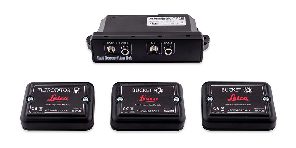
Leica Geosystems, part of Hexagon, and SVAB, one of the leading providers of ergonomic and user-friendly management systems for industrial vehicles and construction machinery, are introducing a new tool for GPS machine control systems based on SVAB's Quantum tool recognition system.
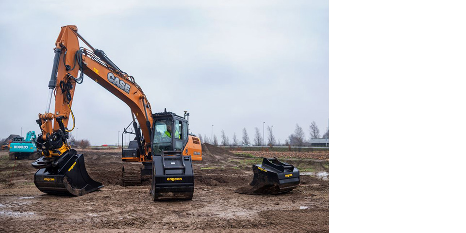
Work tool recognition is a wireless system that automatically detects an implement or attachment being used on a construction machine via Bluetooth Low Energy (BLE). In the case of an excavator, the system automatically recognizes which buckets or tilt attachment is attached to the machine.
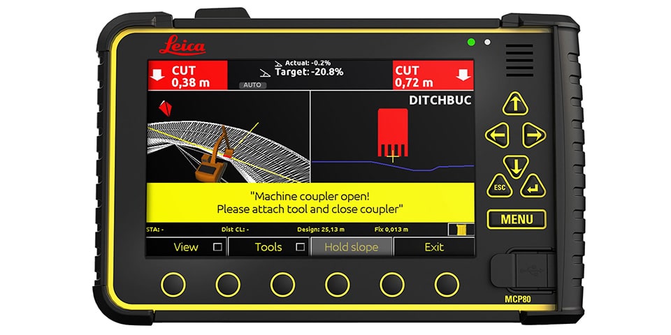
"Many operators change buckets or other attachments several times in a day. With the tool recognition system, mistakes are eliminated. The integration of the system with machine control means that the operator now has all information at hand on one screen," explains Marcus Grevelshøj, product manager for solutions for excavators and shovels at Leica Geosystems.
More efficiency
The operator no longer needs to manually change settings in Leica Geosystems' machine control software when changing the bucket. This becomes an automated process. The operator receives a warning if an attachment has been selected without using the work tool recognition system. This reduces the risk that, for example, the wrong bucket is used for excavation and unintentionally too much or too little soil is excavated; correcting this can take valuable time. The implement recognition system also supports standard tipping buckets and detachable tiltrotators.
"The tool recognition system is a new way to take advantage of information about attachments attached to the machine," said Fredrik Eriksson, CEO of SVAB. "We are proud that our tool recognition system is now compatible with Leica Geosystems' solutions."