warehouselogistiek.eu
EN

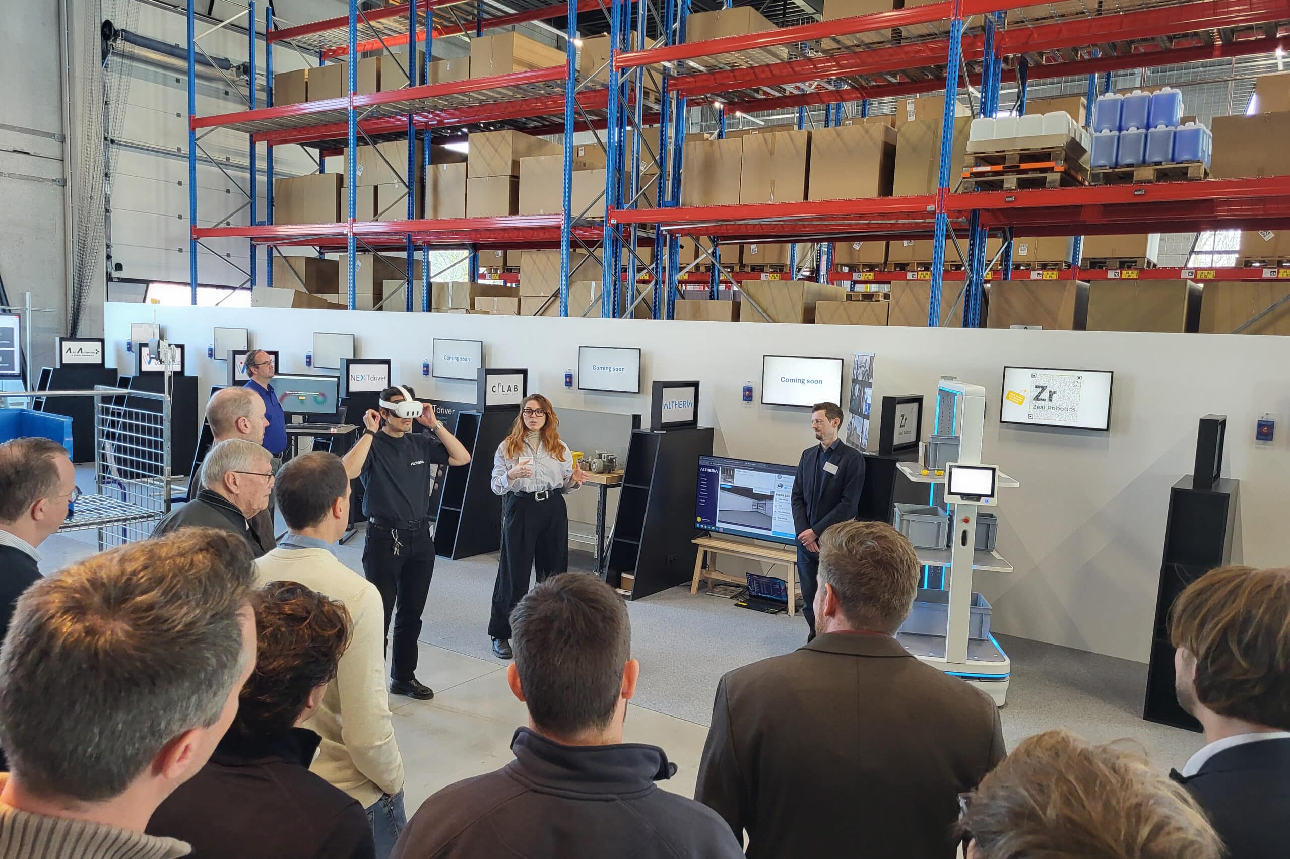
The platform for internal & external logistics, supply chain and automation

Throughout the country, FACTO GEO professionals work on infrastructure projects.
The largest, independent surveying engineering firm in the Netherlands can, due to its size and capacity, move quickly if necessary and respond to critical situations. In all cases, the approach, deployment of the measurement methodology and the desired result are tailored to the question and the ultimate goal.
"We see ourselves as a Geo-partner with knowledge of Geo-data and are therefore always the first to look for the question behind the question of our clients," begins Tom Balke of FACTO GEO. "What purpose does the client have in mind with the measurement data? How can we create added value? This often starts with a good conversation. That creates a lot of clarity and prevents misunderstandings. Based on the results, we recommend an approach using the right measurement methodology. This varies from mobile scanners to the use of drones and everything in between, so that the right information is delivered in the most efficient way. If necessary, we use a select group of subcontractors, working according to our quality standards and service orientation, to deliver the intended result. Preferably, we accompany our clients from zero measurement to actual delivery or sometimes even a step further, up to and including the management of a road, for example."

3D machine model
NLCS, the CAD standard of the Dutch GWW sector, flows through the veins of FACTO GEO's CAD operators. "They are raised with it," Balke emphasizes. "We can very quickly deploy geo-specialists throughout the Netherlands for work requiring extra attention or in case of unexpected, critical situations. We store all measurement data and data and these are processed and qualitatively tested with our own developed acquisition and processing software. In order to ultimately deliver the correct customer-specific information from the measurement data, we use specialized software. All communications, agreements and quotations are managed in a unique client management system. This ensures that everyone involved in a project always has access to the most accurate information and there is no noise on the line. The customer management system is fully customized for our organization and contains many functionalities. For example, it is possible to send a notification to all those involved when changes are made to a file. It benefits the progress of a project."
FACTO GEO specializes in compiling DTM models based on scan data. Balke: "We often perform a baseline measurement with scans. From these scans we extract all relevant information and make an inventory of which objects are present: think, for example, of the contours of road objects, street furniture, trees, but also type of pavement and quality of road markings. All desired objects are inventoried and drawn into the CAD drawing. All codes are indicated in the digital terrain model (DTM) with NLCS, so that it is recognizable for the contractor which objects he is dealing with. This enables clients to determine quantities afterwards when constructing new works. From the possible BIM model of the designing party, we can create the 3D machine model for fully automatic control of the machines. According to many, that machine model would make the surveyor redundant, but we see it differently. The savings should come more from production," Balke believes. "If the work is plotted outside, the machine operator always has an extra check and no incorrect model is dug out. Also, other stakeholders see at a glance what is happening or needs to be done."
Once a project is delivered, FACTO GEO returns for a final survey, measuring the (revision) data of the work done. "That can then be delivered by our client to their customer, usually the Department of Public Works or the municipality. We tailor the format of the final measurement to the specific requirements and wishes. After all, the important thing is that the client can fulfill its management task with the revision data supplied. For governments, nine times out of ten this is NLCS, but additional requirements such as Kerngis or DTB are also requested by the Department of Public Works."